Flagship service
Drone and aerial photography
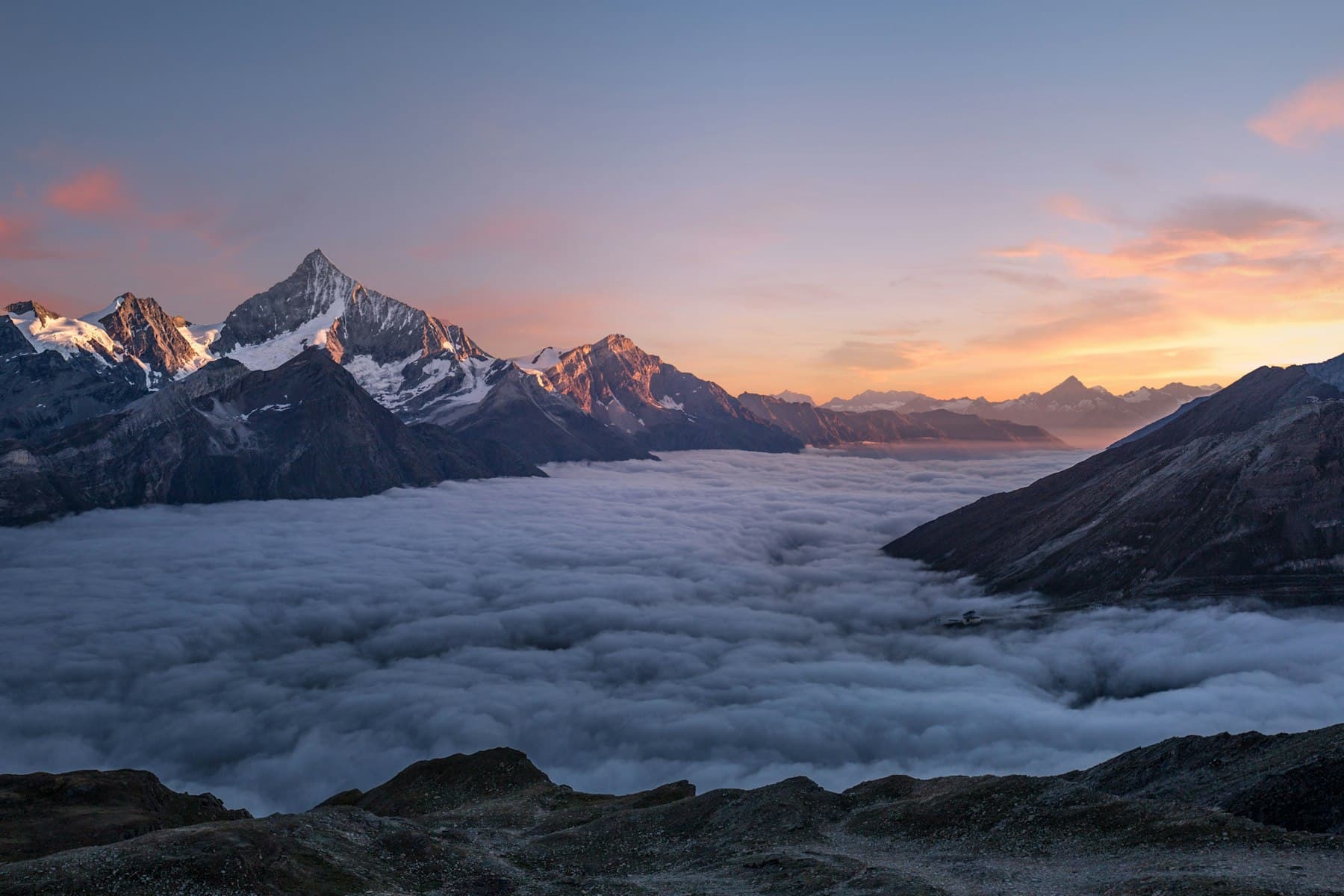
Aerial imagery over South Georgian Bay: shoreline estates, escarpment builds, resorts and open country.
Why aerial
Some properties only make sense from above.
Water frontage, acreage, tree cover, distance to the hills: the features that sell here are the ones a ground-level camera cannot capture.
Use cases
Where aerial work earns its keep.
Real estate listings
Establish the lot, the neighbourhood and the view before a buyer ever books a showing. An aerial set answers the questions ground photos raise: how close is the water, what backs onto the property, where does the lot end.
Construction and progress
Scheduled flights over active sites, shot from repeatable angles and altitudes, so owners, lenders and project teams can compare progress frame against frame across the build.
Resorts, golf and tourism
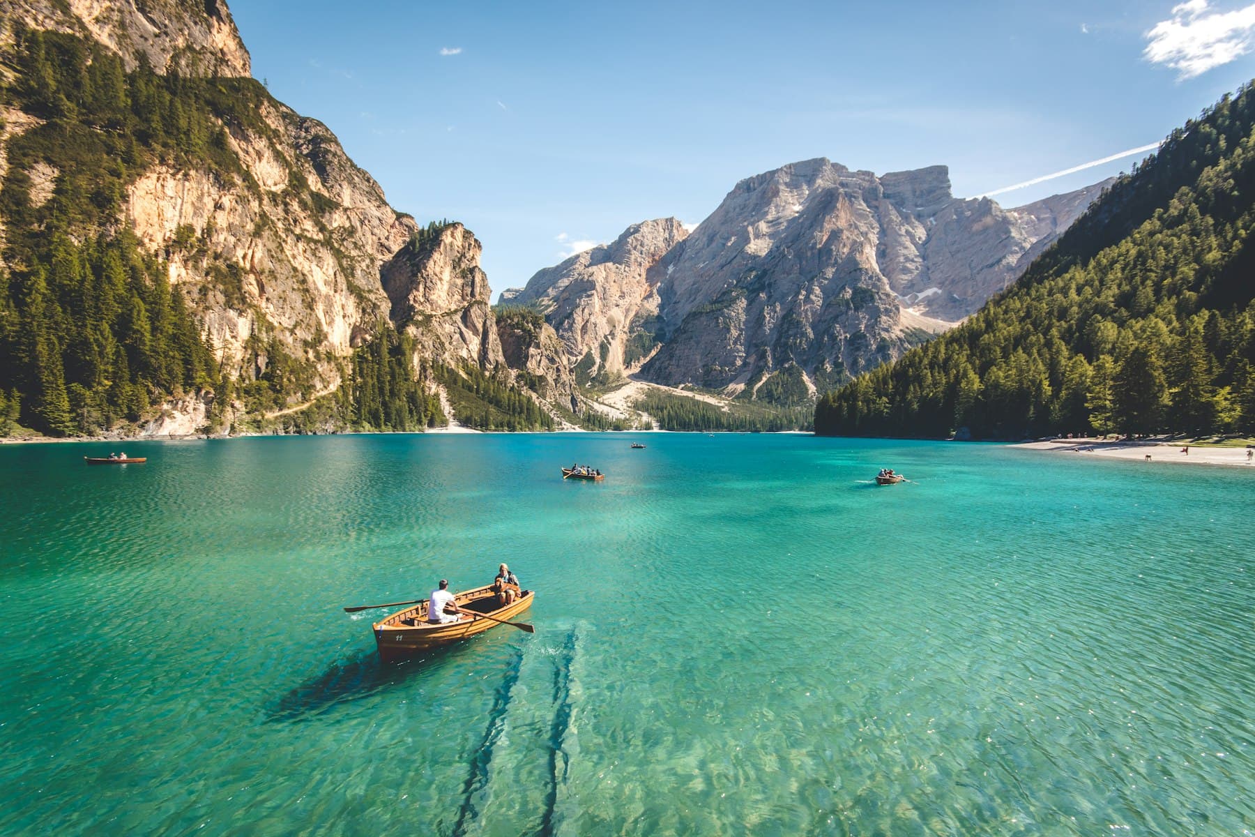
Course layouts, waterfronts and four-season campaign imagery for the resorts, clubs and operators that market this region to visitors.
The work
Aerial frames from the region.
Flight operations
Certification and insurance
Put your property in the frame.
Send the location and what you need it for. Pete will confirm airspace, timing and a quote.